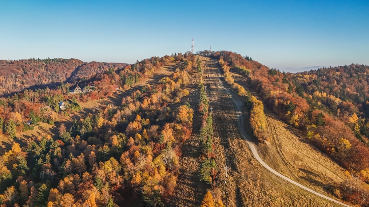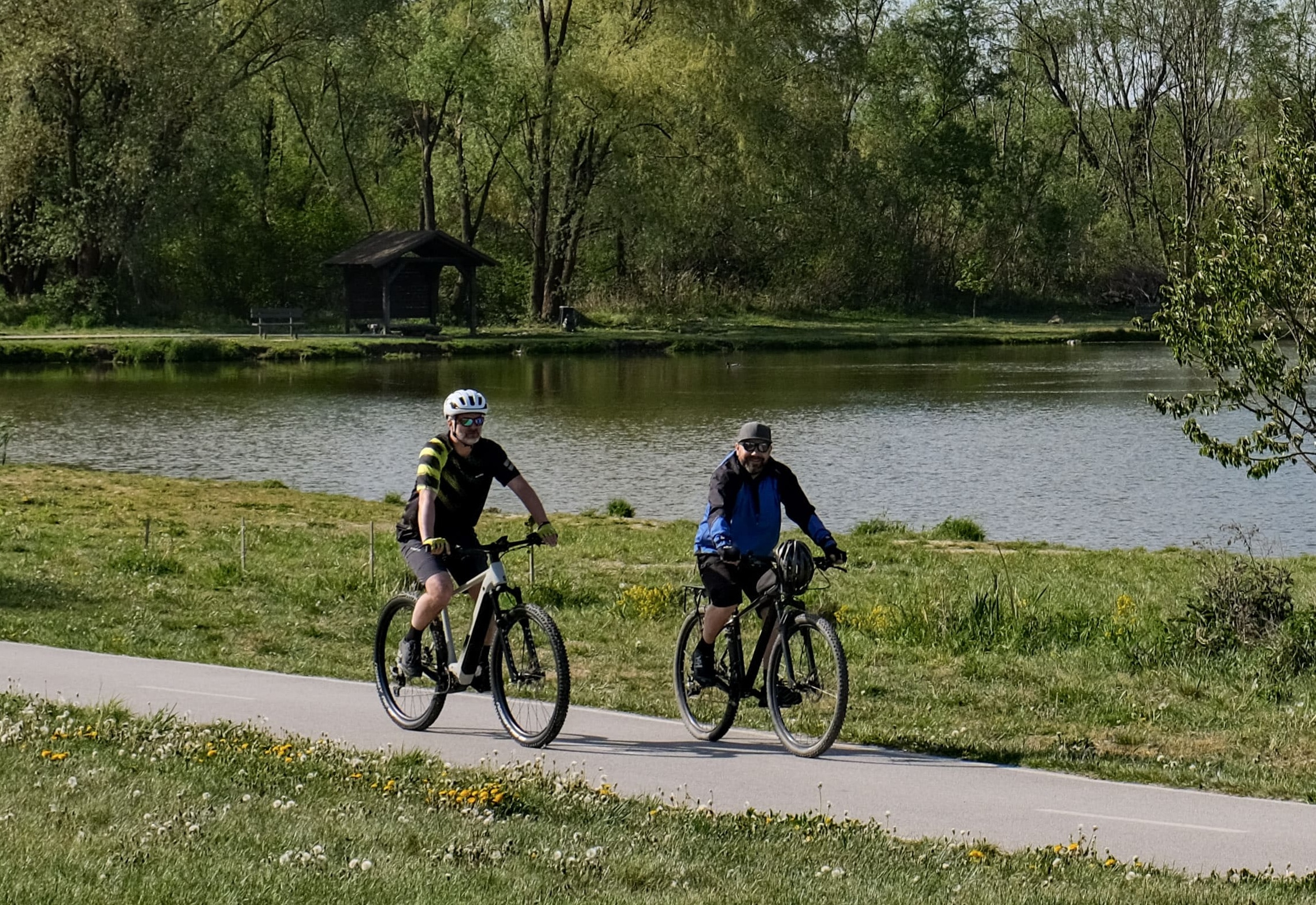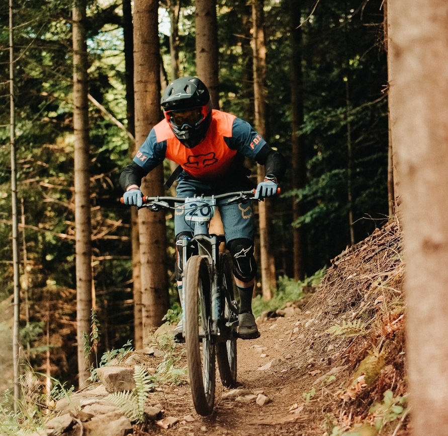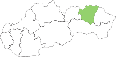


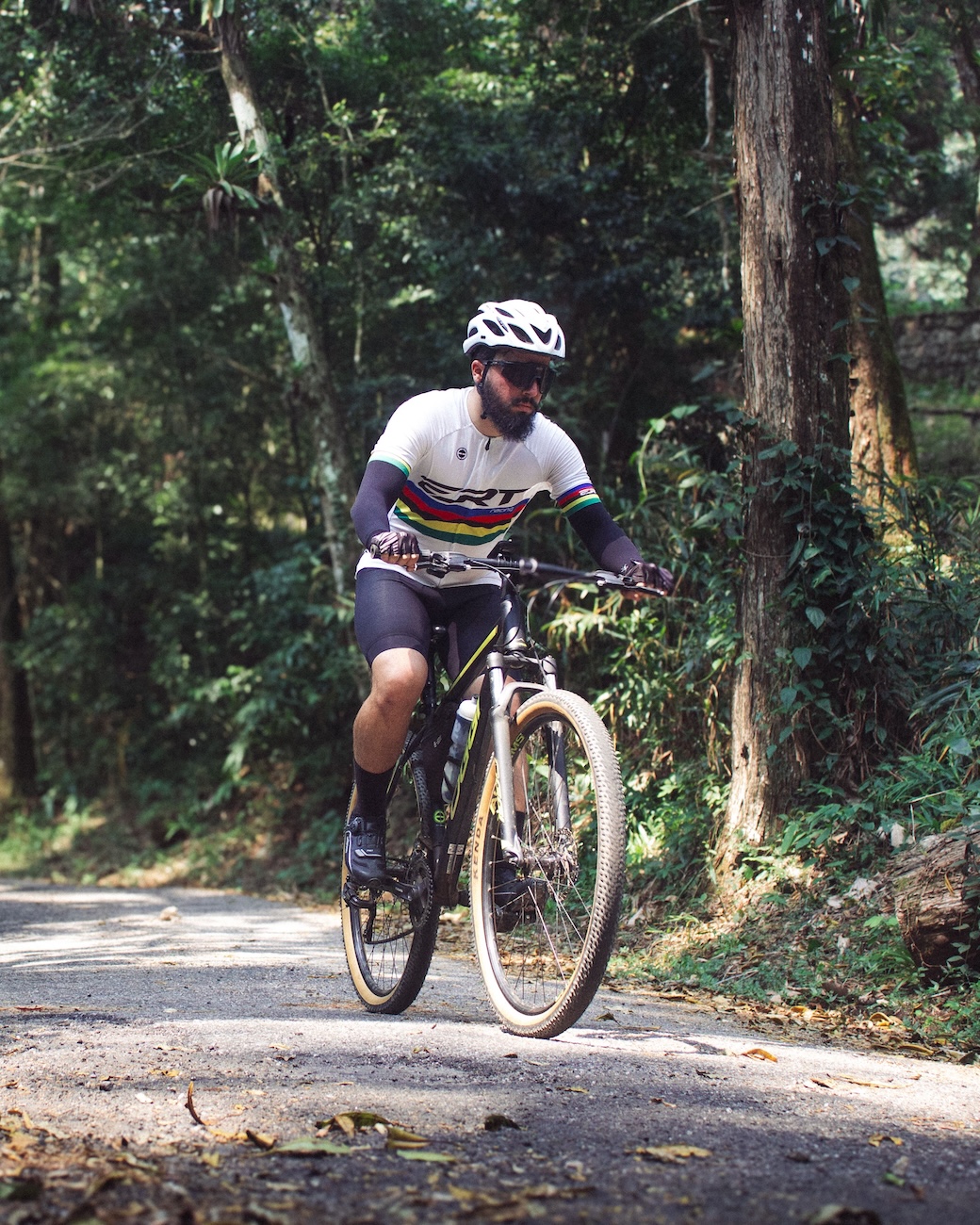

Extrem 5873 Cycle Route It forms part of a large circuit around the towns Prešov a Sabinov. The section from Jarovníce via Renčišov, including the climb to the Buče mountain holiday resort and on to the ridge of the Bachureň massif, is one of the most interesting and challenging.
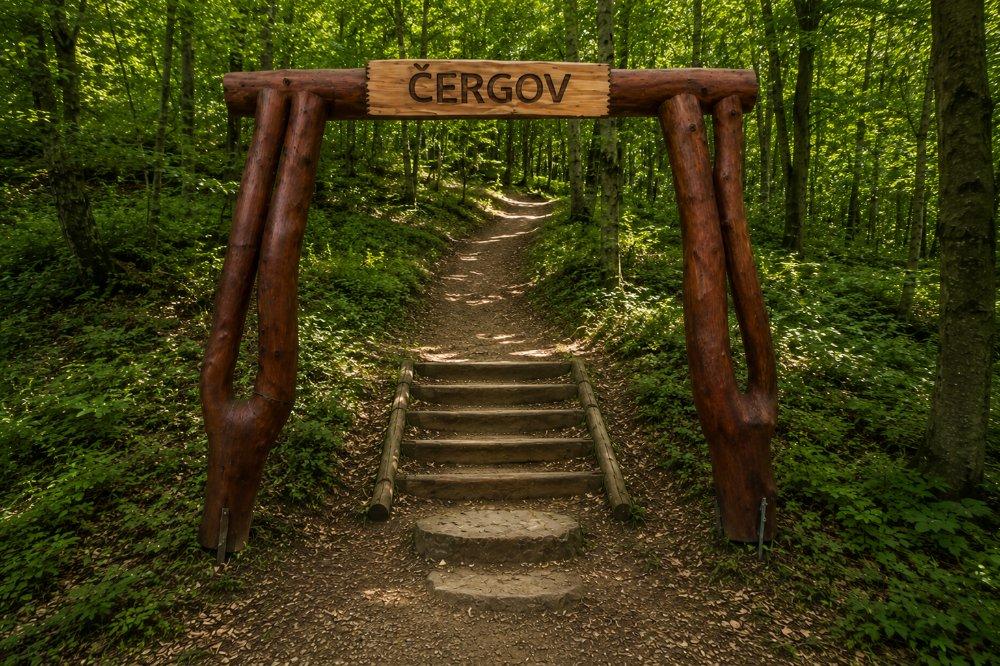
In 2010, there was a storm on the section between Renčišov and the Buče mountain hut, and fallen trees temporarily blocked the route for cyclists. At the same time, most of the painted markings were destroyed. However, it is impossible to get lost on the forest track, as there are no confusing turn-offs. You can practise your sense of direction on the section from the Buče chalet to Lačnov, if you decide to complete the circuit. This follows existing roads, where you simply need to follow the road signs.
Source.
Photo source:OOCR RŠ
Map
Information
It winds through undulating terrain, villages, meadows, wooded sections and the foothills of the Bachureň massif. It is one of the longer and more challenging cycle routes, and is therefore particularly suitable for more experienced cyclists and mountain or trekking bikes.
The route offers a varied mix of tarmac roads, unpaved sections and natural scenery. It is ideal for cyclists looking for a more challenging ride, views of the Šariš region and less busy country routes.