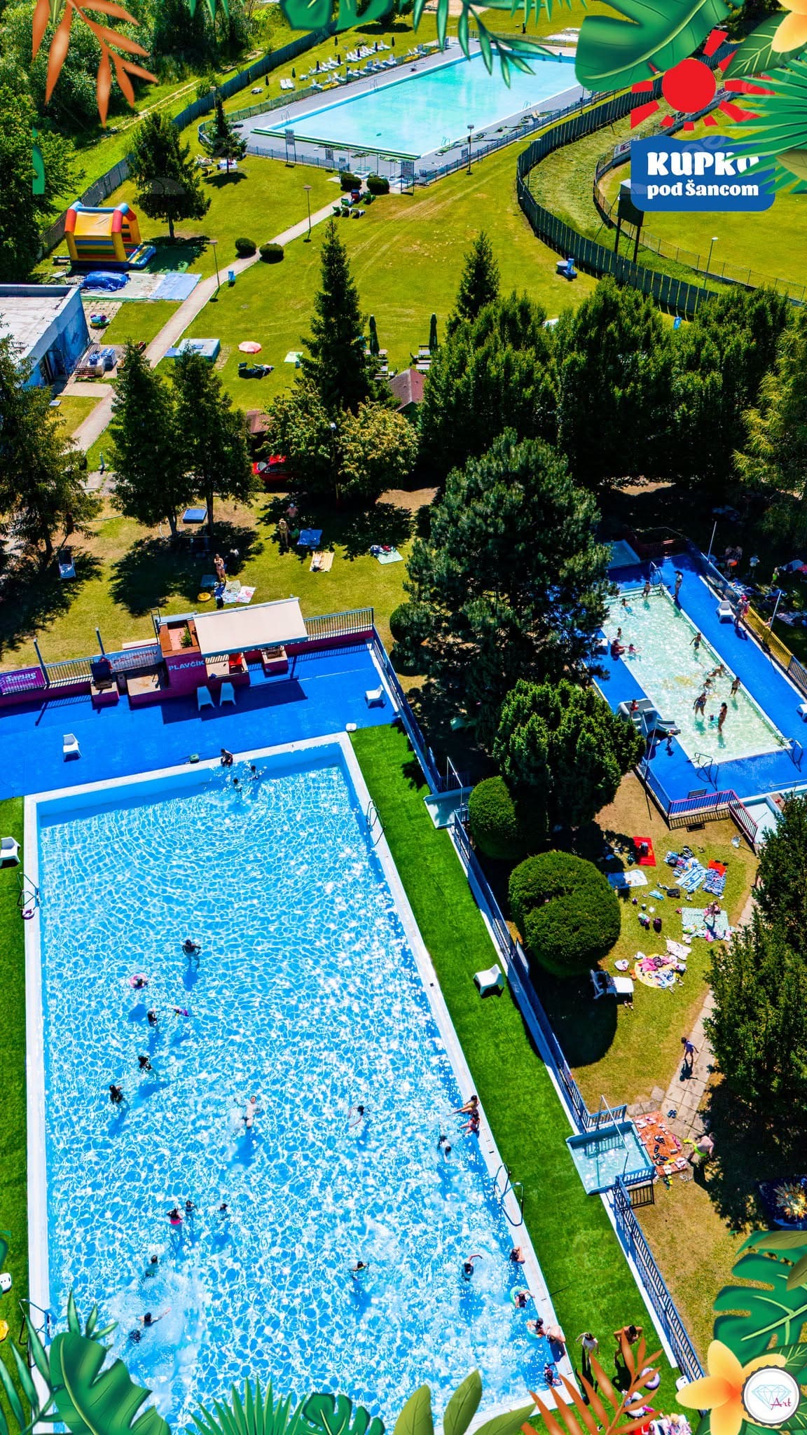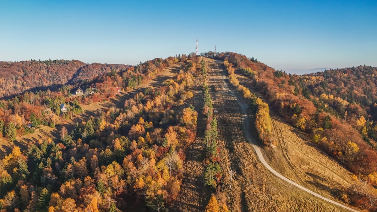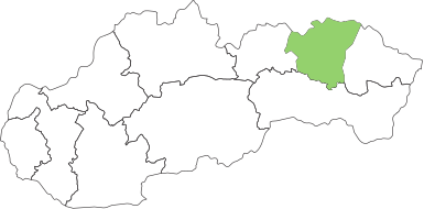


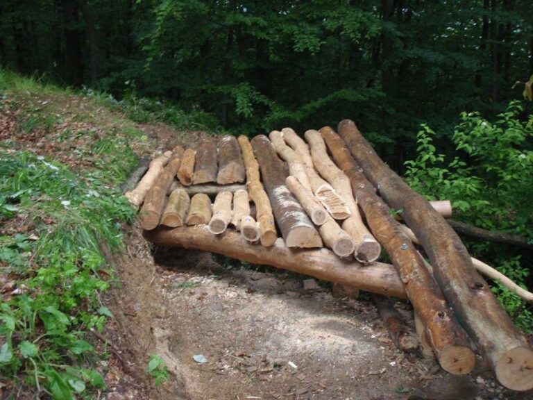
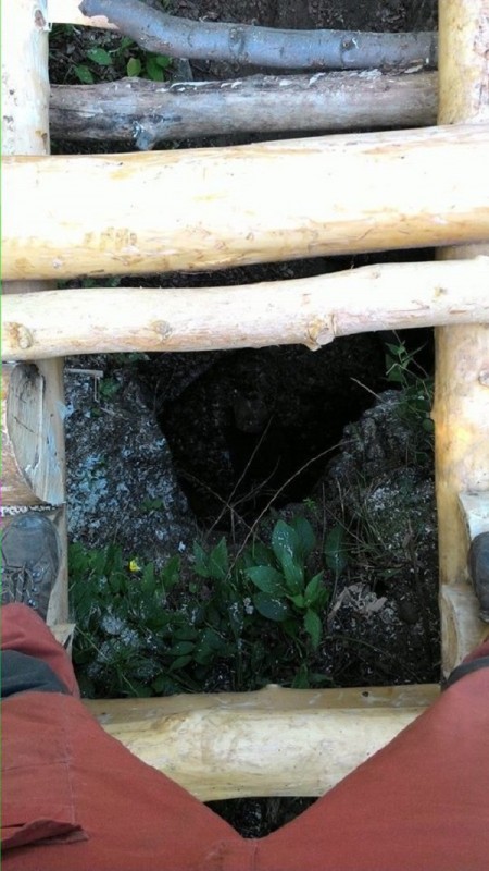
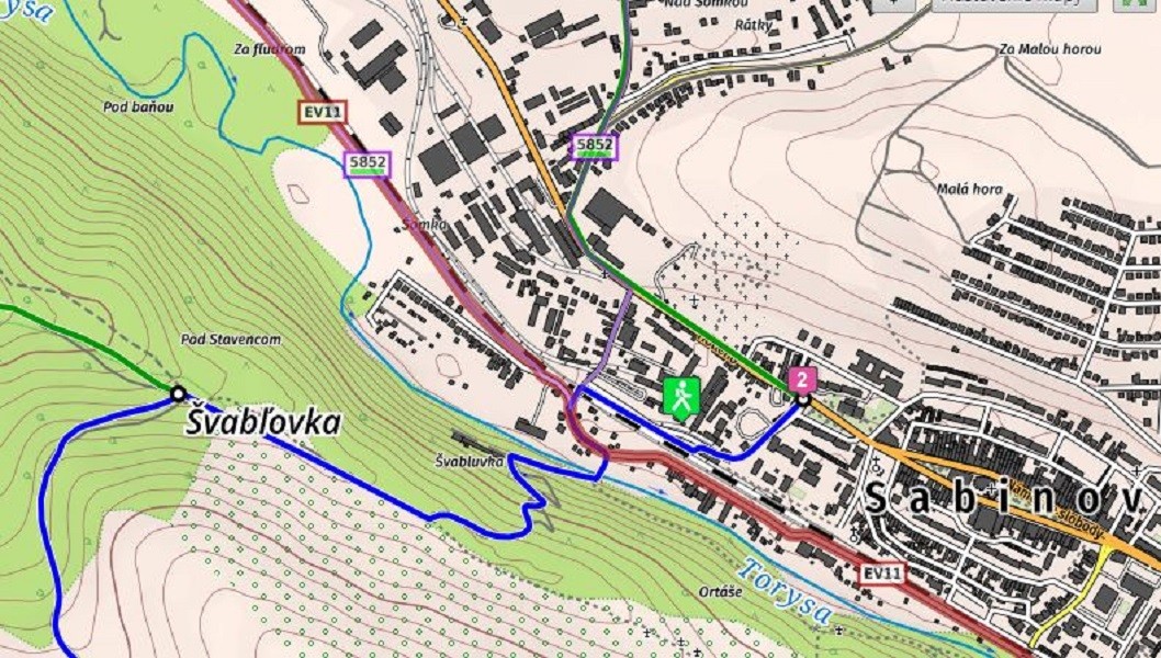
Not far from the former Švabľovka spa in Sabinov lies the peak of Stavenec, at an altitude of 510 metres above sea level, and it is there that an interesting natural feature can be found: an old underground mining shaft, a deep hole in the ground, known as Janjuro’s Jura.
The name is probably a corruption. In his 1786 work *Geographisch-Historisches und Produkten Lexikon von Ungarn*, Ján Korabinský recorded the name ‘Geschurloch’ – meaning ‘Geschur’s hole’ – on page 851, referring to the owner or manager of the spa, Mr Geschur. Names such as Džandžur, Gandžur, Gendžur, Bandžur and others are merely Šariš-dialect corruptions of the German surname Geschur, the former owner of the Švabľovka spa.
The chasm, or hole, was formed by a tectonic fault and human activity, and may be linked to the presence of sulphurous mineral water. It is bottle-shaped, with an upper opening 2.5 x 6 metres wide and a depth of 8 metres. Several myths and legends are associated with its formation. It is said to have served as an underground passageway for the town of Sabinov – an escape route in times of danger. Others say it was a storehouse belonging to the contractor Geschur (a store for wine, grain, food and valuables). Or a store for explosives and weapons for the town, which had a gunpowder factory here. It is also said to have been the weapons base of František Rákoczi II, the Šariš County Governor and later leader of the anti-Habsburg uprising, with the surrounding area serving as a military lookout post.
Legends and Mysteries in Džandžurova džura
The story of this place as part of a stronghold used by bandits – medieval raiders who threatened the town of Sabinov and demanded high fees in return for „protection“ – is shrouded in legend. The most fantastical of all is the legend of an underground passageway leading from Šariš Castle all the way to Prešov. Unfortunately, we cannot verify the truth of any of these versions.
Source: Šariš Caving Club, OOCR RŠ
Photo credit: Speleoklub Šariš
Map
Gallery
Information
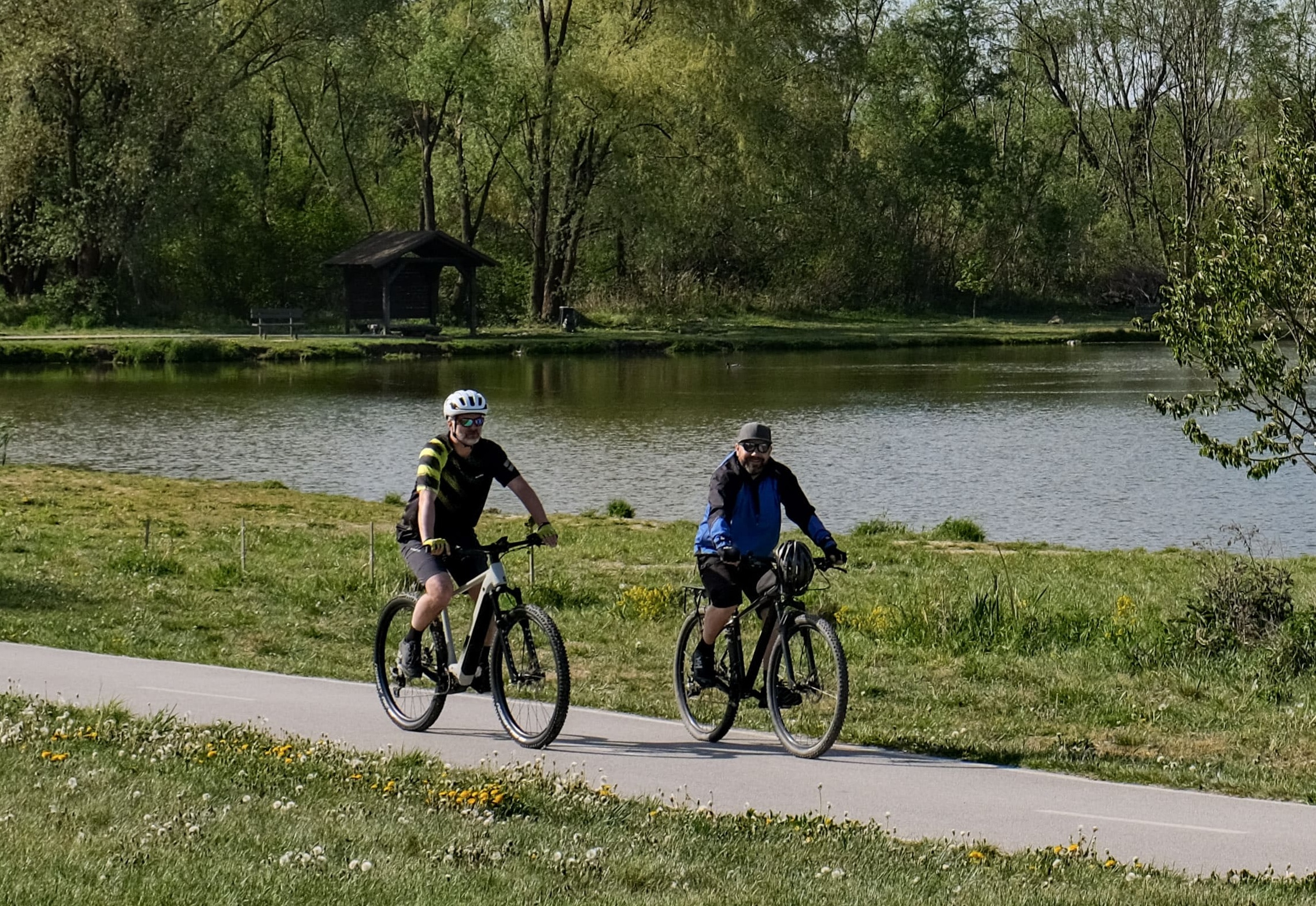
It can be reached via several footpaths from the town along the Švabľovské chodníčky route.
The length of the route depends on the starting point. It takes approximately 40 minutes to complete, is 2.2 km long, and is suitable for all age groups, bearing in mind the gentle incline.