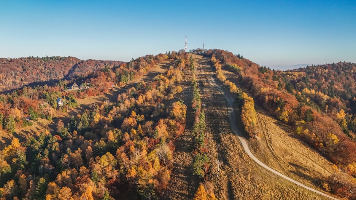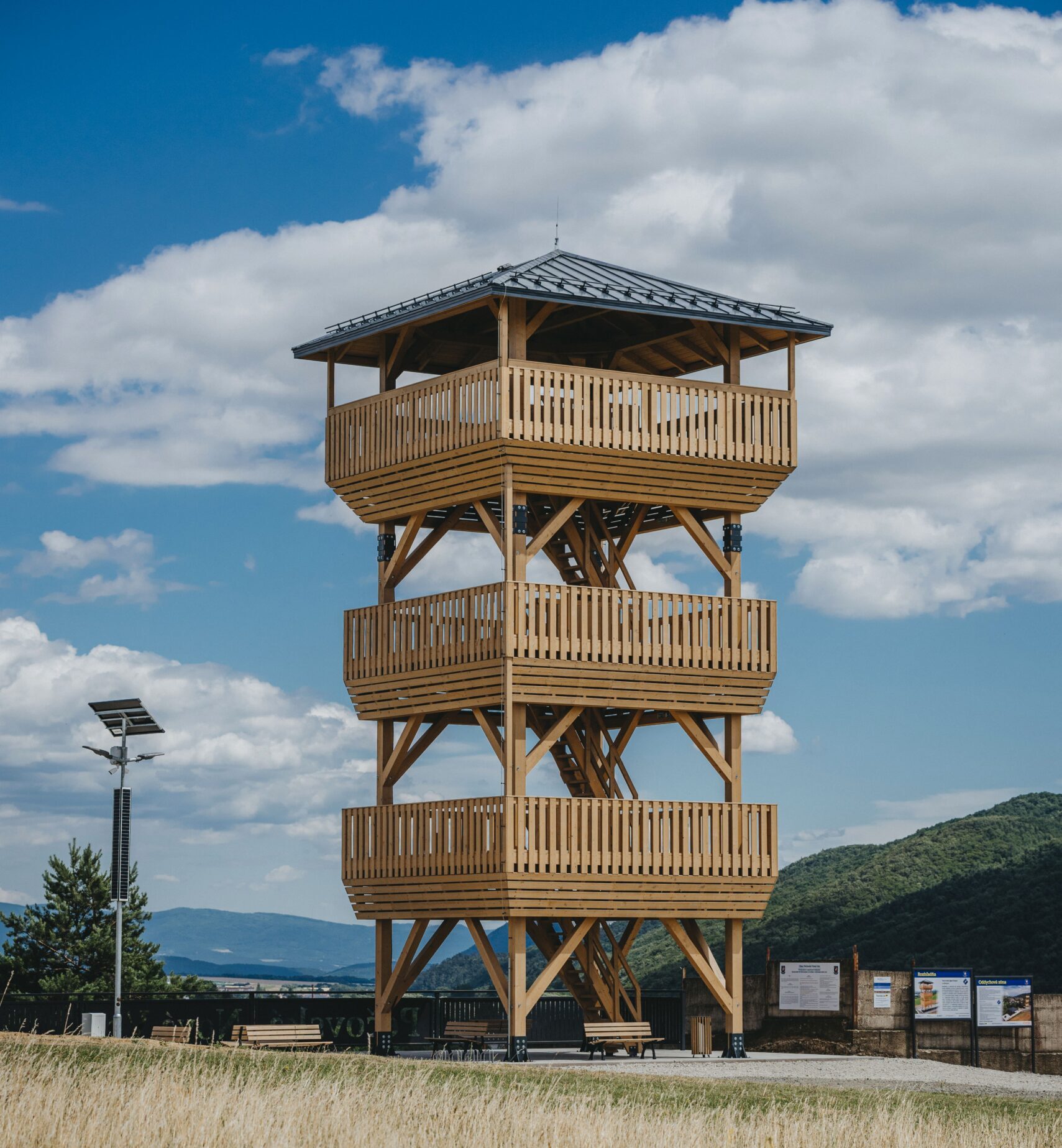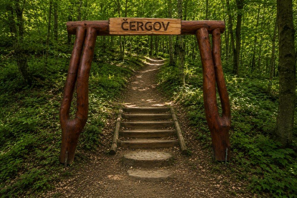


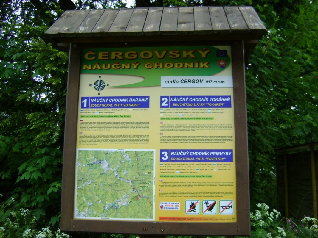
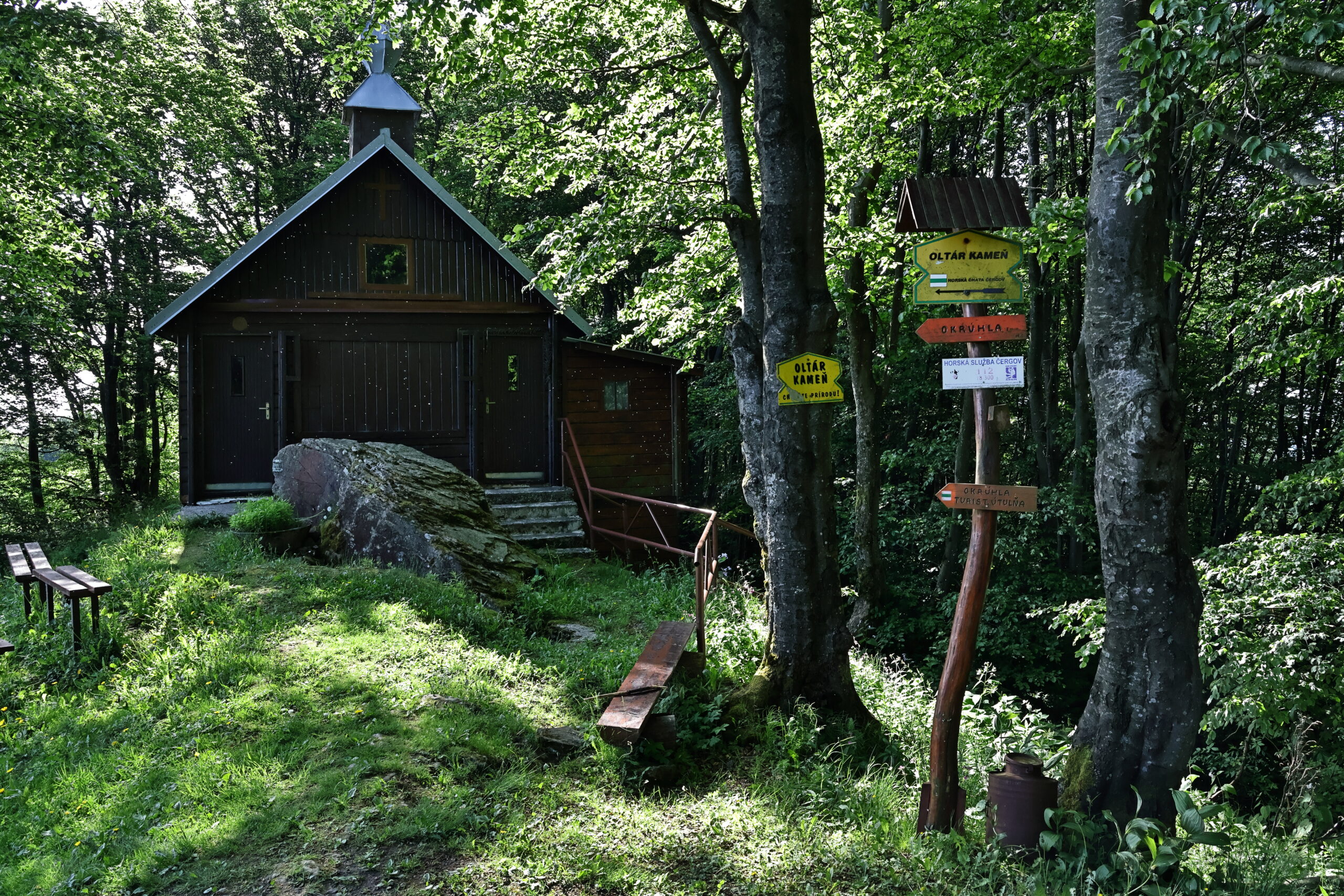
The Baranie Nature Trail, together with the Tokáreň and Priehyby trails, forms The Čergov Nature Trail. Along its route, you will also find the ‘Altar Stone’ – an interesting natural formation – a solitary, massive, prism-shaped sandstone boulder with plate-like layering – not far from the summit of Lysá (1,068 m above sea level) to the north of Drienica, marking the end of the most imposing spur extending from the main ridge of the Čergov Mountains.
Altar stone
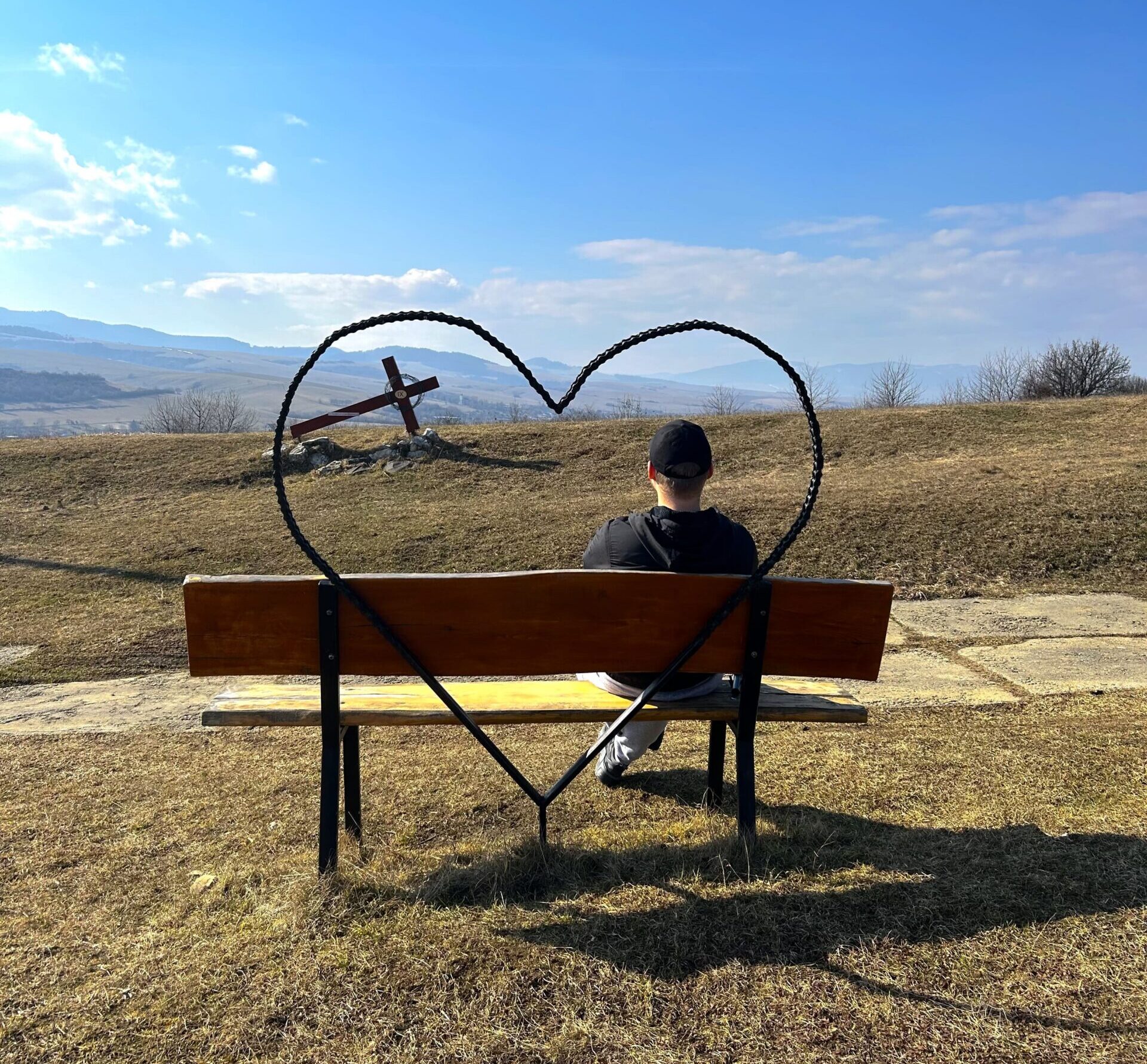
The place is shrouded in many legends and tales. Its mystique is further enhanced by the enigmatic, hard-to-decipher signs, symbols and letters carved into the stone. The stone is an ancient monument to history, a testament to the cult practices of our ancestors, and a refuge for believers persecuted for their religious convictions. According to some sources, there was a fortified settlement here where the Crusaders – the Knights Templar – were present as early as the 12th century. Later, the Brethren (15th century) and Protestants from neighbouring towns and villages gathered here for worship. The first mention of the massive sandstone boulder dates from 1786. Today, a wooden chapel dedicated to the Transfiguration of the Lord, built in 2001, stands here. It belongs to the Greek Catholic parish of Drienica. Services are held here once a year.
Another point of interest along the trail is the Črchľa Pass, which forms part of the Čergov Site of Community Importance and the Čergov Special Protection Area (both of which are part of the Natura 2000 network).
Abandoned settlements in the forests of Čergov
Other stops include the villages Ambrušovce a Ram. Scattered settlements in the Čergov valleys north of the Lysá – Ostrý kameň, whose inhabitants were engaged in agriculture, forestry, charcoal burning and the production of shingles and troughs. They ceased to exist in the 1960s. Monuments in the cemetery and scattered log cabins, now used for recreational purposes, have been preserved. Administratively, they belong to the village of Olejníkov.
Source: naucnechodniky.sk
Photo source:OOCR RŠ
Map
Gallery
Information
Starting point: Drienica, the Šport chalet near the top station of the Drienica–Lysá cable car
Route: Drienica, Šport Mountain Hut – Lysá – Oltárkameň – Ostrý kameň – Črchľa Pass – Ambrušovce – Baranie – Šport Mountain Hut
Route length: 10 km, estimated 3–4 hours
Difficulty: moderately challenging