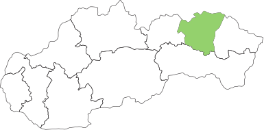



The town Sabinov is first mentioned in a Hungarian charter King Bela IV, dated 23 February 1248. Its favourable location on the trade route running through the Torysa Valley was undoubtedly a decisive factor in attracting German settlers to the area. Sabinov’s growing economic and political importance on the kingdom’s borders, as well as the king’s efforts Sigismund of Luxembourg to win over allies in the cities, they secured Sabinus a promotion to free royal town. This was set out in a charter dated 17 May 1405, which states that the town is to be surrounded by walls and other fortifications.
The town walls and their structure
According to the medieval chronicle of the town of Sabinov, work on the town walls and the surrounding moats did not begin until 1474. Sabinov also assisted the monarch in his struggle against rebellious nobles, and for this reason, in 1485, Matthias Corvinus granted it an annual sum of 100 zloty for a period of four years, intended for completion of the walls. It was in the King’s own interest that the town should be well fortified, and for this reason he had already provided financial support to the town in previous years. In 1481, he exempted Sabinov from all taxes for a period of four years, and these funds were to be used for the construction of the walls. During the reign of Matthias Corvinus, Sabinov’s economic and legal status was consolidated to such an extent that the other royal towns of eastern Slovakia accepted it as a member of their association of towns Pentapolitans.
In 1603, when a thorough inspection was carried out in the free royal towns of Hungary to examine both private and public buildings, city walls and fortresses, the thirty-man delegation of the Spiš Chamber also carried out an inspection of Sabinov. At that time, the city walls had a total length of approximately 1,330 metres and consisted of 16 towers, two of which are gate-type.
Despite frequent repairs and careful maintenance, Sabinov’s fortification system had already lost its major military significance by the 17th–18th centuries, offering the townspeople protection only against small military units and bandits. In the first half of the 19th century, the fortifications were no longer maintained; the moats were turned into gardens and the walls gradually fell into disrepair. The towers, which were owned by the town, were let to residents for agricultural and residential purposes.
Town fortifications In Sabinov, the boundaries of the medieval royal town, which had an irregular oval ground plan with axes, were once defined 440 and 345 metres, with a central square on a lenticular plan. The road formed the town’s main central axis and divided its area into two halves: north and south. The relatively simple design of the fortification system, as well as the nature of the bastions and embrasures, was also dictated by the natural conditions.
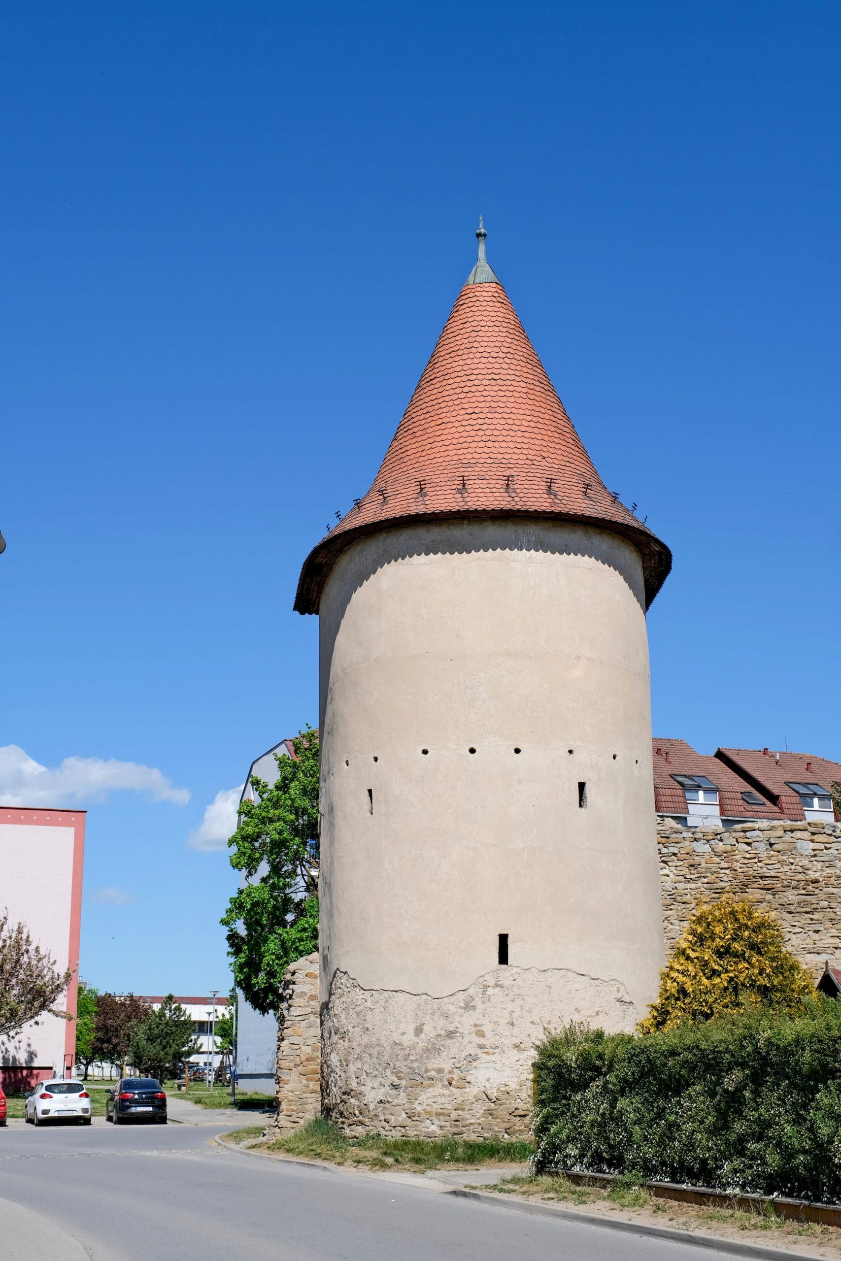
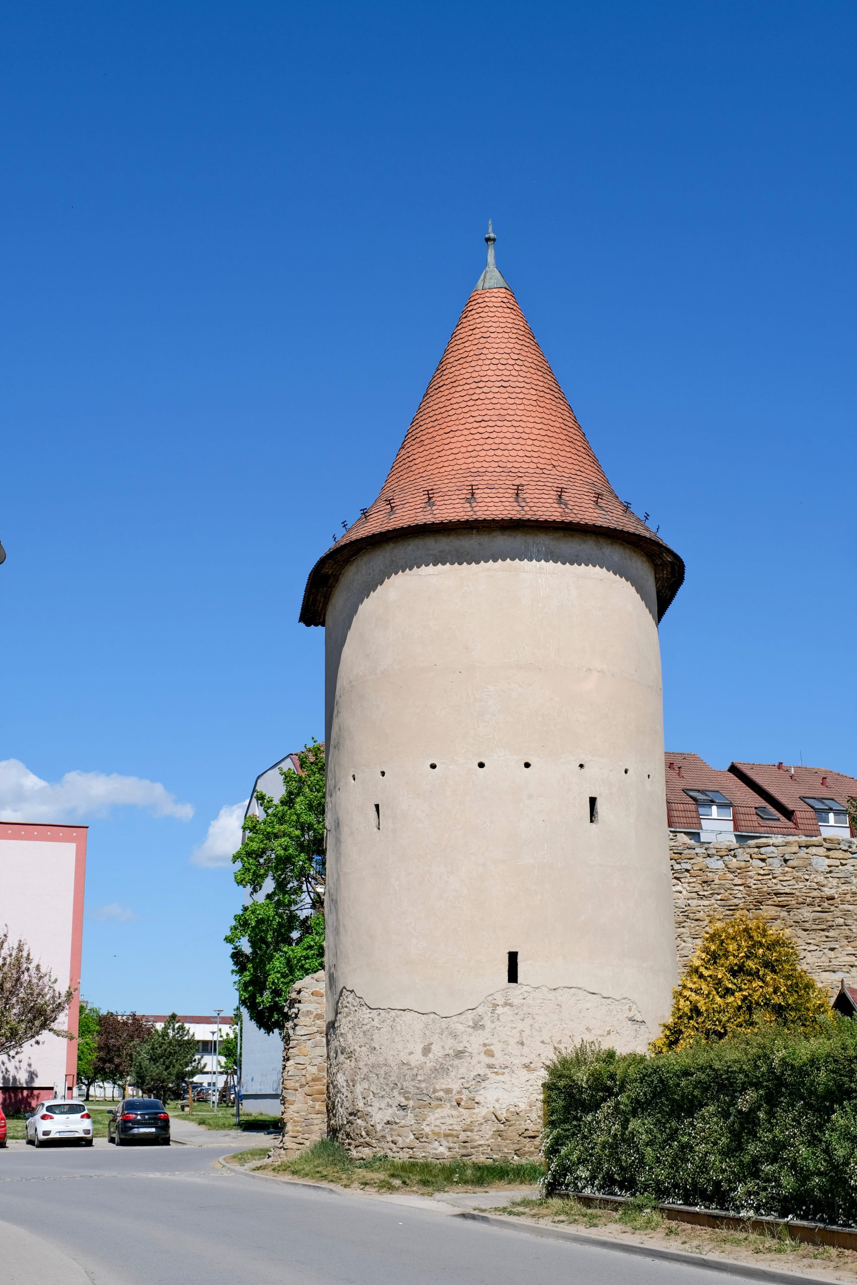
Town fortifications formed an outer fortification, making use of the course of Mlynský Creek on the southern side. Due to the characteristic arrangement of the bastions, with their relatively wide spacing (50–77 m) – adapted to the new, advanced firearms – the fortification system of Sabinov is regarded as Gothic-Renaissance. The bastions themselves, comprising between two and four storeys, retain their original floor-plan and height dimensions Gothic character.
Preserved sections of the fortifications
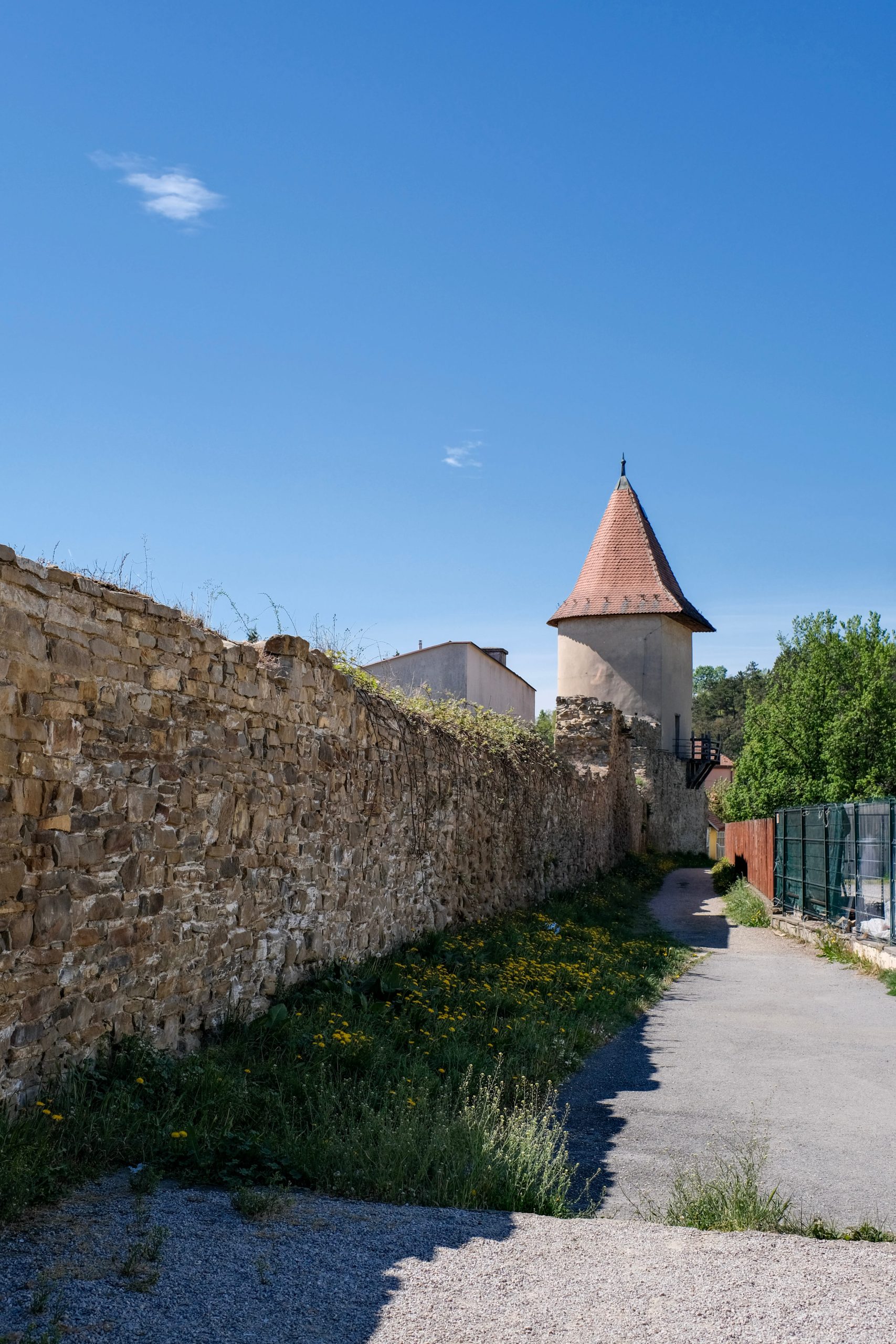
Of the entire town fortifications, with a perimeter of around 1395 m To this day, only fragments with a total length of around 497 m. The southern section is the best and most comprehensively preserved, featuring the remains of the rampart wall along with five fully preserved towers and the small ruins of a further four towers. This section of the fortifications is lined along its entire length on the inner side by a continuous rampart walk, whilst on the outer side a row of plots with detached houses adjoins the rampart.
The entire fortifications of the town of Sabinov were based on a unified design consisting of a circular rampart reinforced by regularly spaced towers, and their layout closely resembled that of the fortifications the nearby Šariš Castle, which is similarly punctuated at regular intervals by projecting late-Gothic towers with a dominant semicircular ground plan. Their design incorporated a defensive strategy almost identical to that of the fortifications at Sabinov.
Source: Architectural and historical research by Ing. arch. Martin Bóna, Mgr. Michal Šimkovic and Ing. Peter Glos
Photo source:OOCR RŠ
Map
Gallery
Information
Preserved sections of the fortifications:
Tower No. 1 With its hexagonal polygonal ground plan and original three storeys, it has been preserved up to the level of the cornice of what is now the 4th storey. Originally, the tower was accessible only through the entrance opening. Several of the original beam lintels and parapet stops have been preserved.
Tower No. 2 It has been preserved to its original height of five storeys. Originally, it was accessible only via an entrance on the 4th storey, connected to the gallery of the adjacent courtyards. All storeys were separated by beam ceilings, on which the round sills of the ceiling beams have been preserved. The curtain wall (the wall between two flanking towers, bastions or bastions) between towers No. 2 and No. 3 has a total length of around 61.5 m and runs in a straight line. Very little of its original structure has survived above ground level, amounting to a height of just 1 m.
Tower No. 3 The semi-circular structure now stands four storeys high. Originally, it was accessible only via an entrance at the level of the third storey, directly from the continuous walkway along the neighbouring curtain walls. The curtain wall between towers No. 3 and No. 4 is 64 metres long and runs in a straight line. It has been preserved almost continuously to a height of around two metres.
Tower No. 4 The semi-circular ground plan has been preserved up to the height of the original three storeys. It was accessible at the level of the original second storey via an entrance in the north-eastern wall, which connected directly to the parapet walkways of the adjacent curtain walls. The original lower storeys have retained their slit embrasures with beam lintels and parapet stops to this day. The curtain wall between towers No. 4 and No. 5 was approximately 56.5 m long and ran in a straight line. The best-preserved eastern section, 14 m long and 6.5 m high, retains the remains of an original slit embrasure in the parapet section.
Tower No. 5 Only the north-eastern wall, 7 m wide, has been preserved above ground level, extending to a height of two storeys. The curtain wall between towers No. 6 and No. 7 was approximately 58 m long (Fig. 1). Its original structure has been preserved almost along its entire length, up to approximately the height of the parapet.
Tower No. 7 Together with Tower No. 10, it was one of the largest towers in the fortification system. Above ground level, only the eastern part of the rounded outer wall and a small section of the northern straight wall have survived. According to a description from 1603, the tower had four storeys and there was another damaged turret with a drawbridge nearby. The curtain wall between Towers No. 7 and No. 8, approximately 79 m long, has been preserved almost in its entirety The rampart wall continuing from Tower No. 10 to the north-west has been preserved above ground level only in a short, restored section connecting to Tower No. 10, with a total length of around 3 m. The wall now features a reconstructed original parapet walk, complete with a single key embrasure.